
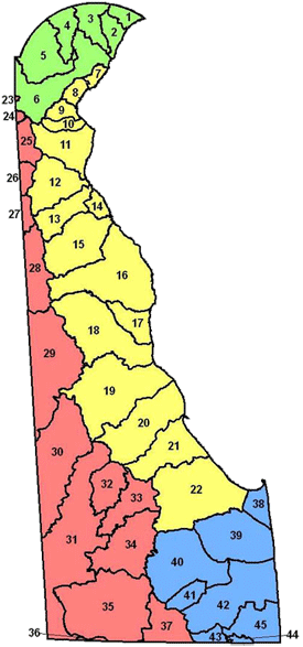
Water Quality Improvement Plans
The ultimate goal of a Water Quality Improvement Plan (WQIP) is to protect, enhance, and improve water quality, which can lead to the removal of applicable streams and rivers from the DNREC List of Impaired Waters. As part of the Phase I permit requirements, Permitees must develop one WQIP each for a restoration watershed and a preservation watershed, both of which will decrease the untreated effective impervious area by at least 3%. A watershed is an area of land that captures the precipitation and funnels it to a river, lake or stream. The Christina River watershed was selected as the restoration watershed, and the Dragon Run watershed was selected as the preservation watershed. Through a desktop analysis and collaborative process, the WQIPs will identify potential projects that will help meet water quality goals. The WQIPs are in the initial stages of development. Check back later for more details.
- Naamans Creek
- Shellpot Creek
- Brandywine Creek
- Red Clay Creek
- White Clay Creek
- Christina River
- Delaware River
- Army Creek
- Red Lion Creek
- Dragon Run Creek
- C & D Canal East
- Appoquinimink River
- Blackbird Creek
- Delaware Bay
- Smyrna River
- Leipsic River
- Little Creek
- St. Jones River
- Murderkill River
- Mispillion River
- Cedar Creek
- Broadkill River
- Elk Creek
- Perch Creek
- C & D Canal West
- Bohemia Creek
- Sassafras River
- Chester River
- Choptank River
- Marshyhope Creek
- Nanticoke River
- Gum Branch
- Gravelly Branch
- Deep Creek
- Broad Creek
- Wicomico
- Pokomoke River
- Lewes/Rehoboth Canal
- Rehoboth Bay
- Indian River
- Iron Branch
- Indian River Bay
- Buntings Branch
- Assawoman Bay
- Little Assawoman