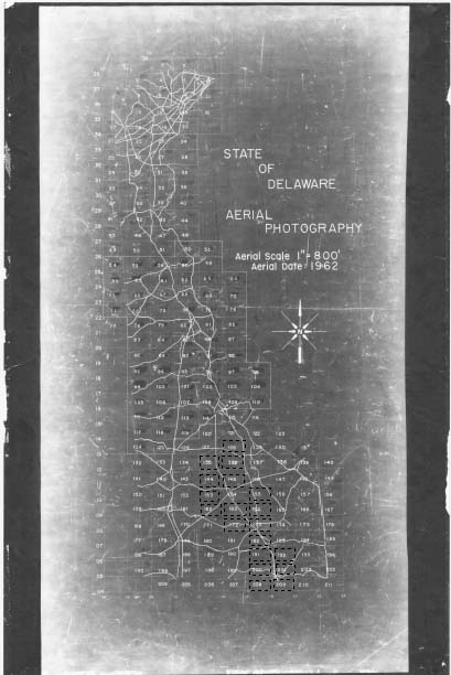
1962 Aerials Presented as Part of DelDOT's Historic Preservation
Map
Click the image of the 1962 Map below to display the map as an Adobe PDF file. Grids outlined with dashed lines have aerial photos available. Once you open the PDF file, click on any grid with the dashed lines to display the corresponding aerial photo. Enjoy!